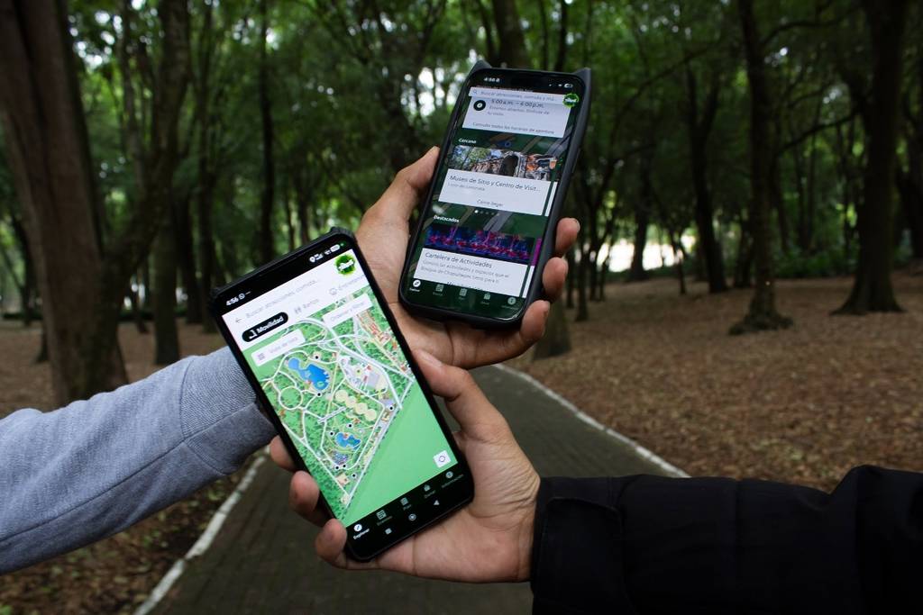

You can now download the official Chapultepec Forest app! This free app has various features, including a map that will show you exactly how to get to the different areas of this Mexico City forest. We’ve already downloaded it and are here to tell you everything you’ll find in it.
It’s no secret that Chapultepec Forest is huge. Its more than 800 hectares are home to all kinds of amazing places: museums, historic fountains, places to exercise, and even a fair.
Through this app, you’ll discover all the points of interest in the park, as well as events and more. It even has a section showing the locations of restrooms and restaurants, as well as the entrances to Chapultepec and nearby Metro and Metrobús stations.
Here’s what the Chapultepec Forest app is like
The Chapultepec app is available for iOS and Android devices. You can find it under the name Bosque de Chapultepec, and it’s free. Its main feature is a comprehensive map of the park that will help you find your way to different spots like museums, restaurants, and more. It covers all four sections of the park and also provides opening hours, prices, and details for each location.
The map features several sections, such as Transportation, Restrooms, Entertainment, Restaurants, and Fountains and Monuments, to name a few. There you’ll find all the points of interest. As soon as you select a location, it will show you the route to get there. Your location within the park will update in real time as you walk.
In addition to the map, there’s a section called Events, where you can see all the activities taking place in the park during the week. There’s also a section called Plan where you can organize your visit to the park. Do you have this app yet?