

The weather in Mexico City can seem chaotic: cold in the morning, intense heat at midday, rain in the afternoon, and cold again at night. But in reality, it’s not random. Meteorology explains that these changes are the result of well-defined physical processes in the atmosphere.
One of the simplest ways to understand this is by observing the clouds. According to the World Meteorological Organization ( WMO), cloud types are directly related to air stability, humidity, and temperature, which allows us to anticipate weather conditions.
The clouds you should learn to identify
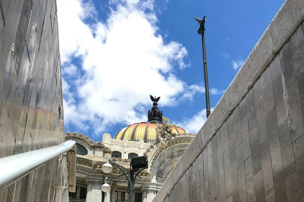
Cumulus clouds are a sign of good weather. They form through convection: the sun heats the ground, the warm air rises, and as it cools, it condenses into clouds. According to the National Weather Service, this type of cloud indicates a relatively stable atmosphere.
Cirrus clouds, on the other hand, form at high altitudes (over 6,000 meters) and are composed of ice crystals. The WMO notes that their gradual increase is often associated with the arrival of a frontal system or a disturbance, which can lead to rain within the next 12 to 24 hours.

Lenticular clouds appear when strong air currents flow over mountains and generate atmospheric waves. This phenomenon, known as orographic waves, is documented in studies of atmospheric dynamics and is common near volcanoes such as Popocatépetl.

Finally, cumulonimbus clouds are responsible for storms. They form when there is high atmospheric instability: warm, moist air rises rapidly. According to the National Weather Service, these clouds can produce heavy rain, lightning, gusts of wind, and hail.

Learning to read the clouds isn’t just interesting—it’s also useful. In a city where the weather changes so quickly, understanding these signs can help you stay one step ahead —and avoid getting caught in the rain without warning.